
Image
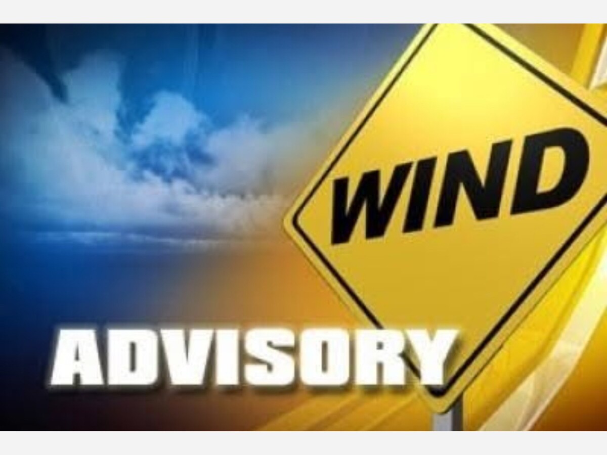
The National Weather Service has issued an advisory...
An upper level disturbance slowly moving across the central Rockies will induce lee side troughing across eastern Colorado and New Mexico Monday. Embedded upper level impulses will bring stronger winds aloft into southern New Mexico. The result will be gusty west to west-northwest winds on Monday, with gusts approaching 45 mph at times. Meanwhile, minimum RH values will remain well into the single to low double digits across the lowlands. This will result in several hours of critical fire weather conditions Monday
WIND ADVISORY and Red Flag Advisory
Begins: 12:00 PM Mon, May 19, 2025
Expires: 8:00 PM Mon, May 19, 2025
WHAT...West winds 20 to 30 mph with gusts up to 50 mph expected.
WHERE...Sacramento Mountains.
WHEN...From noon to 8 PM MDT Monday.
IMPACTS...Gusty winds will blow around unsecured objects. Tree
limbs could be blown down and a few power outages may result.
Areas of blowing dust may reduce visibility.
A red flag warning is issued by the National Weather Service to inform the public, firefighters, and land management agencies that conditions are ideal for wildland fires and any fire which does start could spread rapidly. These are often issued after drought conditions, when humidity is very low and especially when there are high or erratic winds. The possibility of lightning is also a determining factor. Fire fighting agencies often will increase their staffing and equipment resources due to the forecast risk. For the public, a Red Flag Warning often means high fire danger leading to restrictions or bans on outdoor burning including burn piles, burn barrels and campfires. Use of anything which may produce sparks, including outdoor lawn equipment, chainsaws and welding, may be restricted or prohibited.
The weather criteria for fire weather watches and red flag warnings vary with each Weather Service office’s warning area based on the local vegetation type, topography, and distance from major water sources. They usually include the daily vegetation moisture content calculations, expected afternoon high temperature, afternoon minimum relative humidity and daytime wind speed.
An enhanced version of the warning, called extreme red flag warning, may be issued. This means that conditions for fire growth and behavior are extremely dangerous due to a combination of strong winds, very low humidity, long duration, and very dry fuels.


The Mayor’s Youth Advisory Commission is a great idea!
Will the monthly
meetings be live streamed?
Alamogordo school
district extends well beyond city limits. Will the Otero county
commission get involved?

Sunny, with a high of 109 and low of 79 degrees. Sunny during the morning, clear during the afternoon and evening,


i would imagine there is a good deal of conflict within the timeron community - and likely within the minds of numerous individuals there.


The light of la luz is the most awesome way to explain something New Mexico style!