
Image
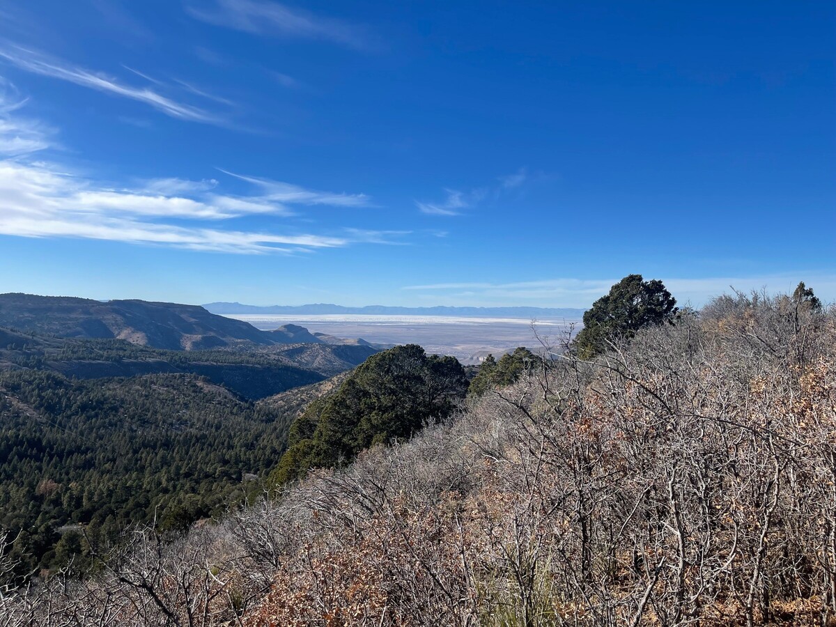

Alamogordo, NM – April 1, 2026 — Firefighters continue making solid progress against the Sago Fire, which has burned 282 acres on the Mescalero Apache Reservation since it was first reported on Thursday, March 26, 2026.
As of the most recent reports on March 31, the fire reached 53% containment, up significantly from 34% the previous day and 17% earlier in the week. The blaze, located about 19 miles east of Mescalero near the Cow Camp area, is now mostly smoldering and creeping slowly within established control lines.
Crews have been focused on securing the fire perimeter, extinguishing remaining hot spots, and beginning repair work on containment lines. Approximately 99–105 personnel remain assigned to the incident, including resources such as the Smokey Bear hotshot crew, water tenders, bulldozers, and engines.
The cause of the fire remains under investigation. It has burned primarily in grass, juniper, piñon, and ponderosa pine vegetation.
Public Safety Notes:
• Residents and visitors are asked to avoid Sago Canyon Road and Turkey Canyon roads due to the risk of blowing ash and ongoing fire operations.
• Class III High Fire Danger restrictions remain in effect on the Mescalero Reservation.
No structures have been reported damaged, and the risk to nearby facilities has been described as diminishing.
The Gila Las Cruces Type 3 Incident Management Team continues to oversee the response.
This update reflects the latest available information from official sources including NM Fire Info, the Mescalero Apache Tribe, and incident tracking platforms. Conditions can change rapidly with weather, so residents near the area are encouraged to monitor updates from tribal authorities and local fire information sites.
Stay tuned to 2nd Life Media Alamogordo Town News and KALH Radio for continued coverage of local wildfires and emergency situations.
looks like we're going to be in for a long fire season - thanks to the fire fighters...on the ground and in the air.

Sunny, with a high of 101 and low of 73 degrees. Sunny in the morning, clear overnight.
the smartest maintenance expenditures are spent looking to the future, not repairing the past. kudos for the forward thinking/planning, hope it bears fruit.


just another law and order political personality who believes they should be exempt for those laws...
Remember when they all ran from sniper fire. At this point, what does it matter.


Hmm. Elected city officials making comments “as a private citizen”. A trend that started with former city officials here and is reminiscent of lawsuits going on in Los Angeles right now.
While Mr. Stockwell may hit the ground running, why is the public not asking how complicit he was in the tainted hiring process? He is a past city manager; he knows about hiring protocols. Why didn't he ask the commission to be transparent?

This gets more entertaining by the day. Something about glass sunroofs and throwing stones. Lol
just another standard-issue politician, who will use every loophole, and advantage their office provides for their own interests, and grandstand against someone else doing the exact same thing - a pox on them all.